Lock Your Competitive Edge
Deploy Multi-Method Exploration Now
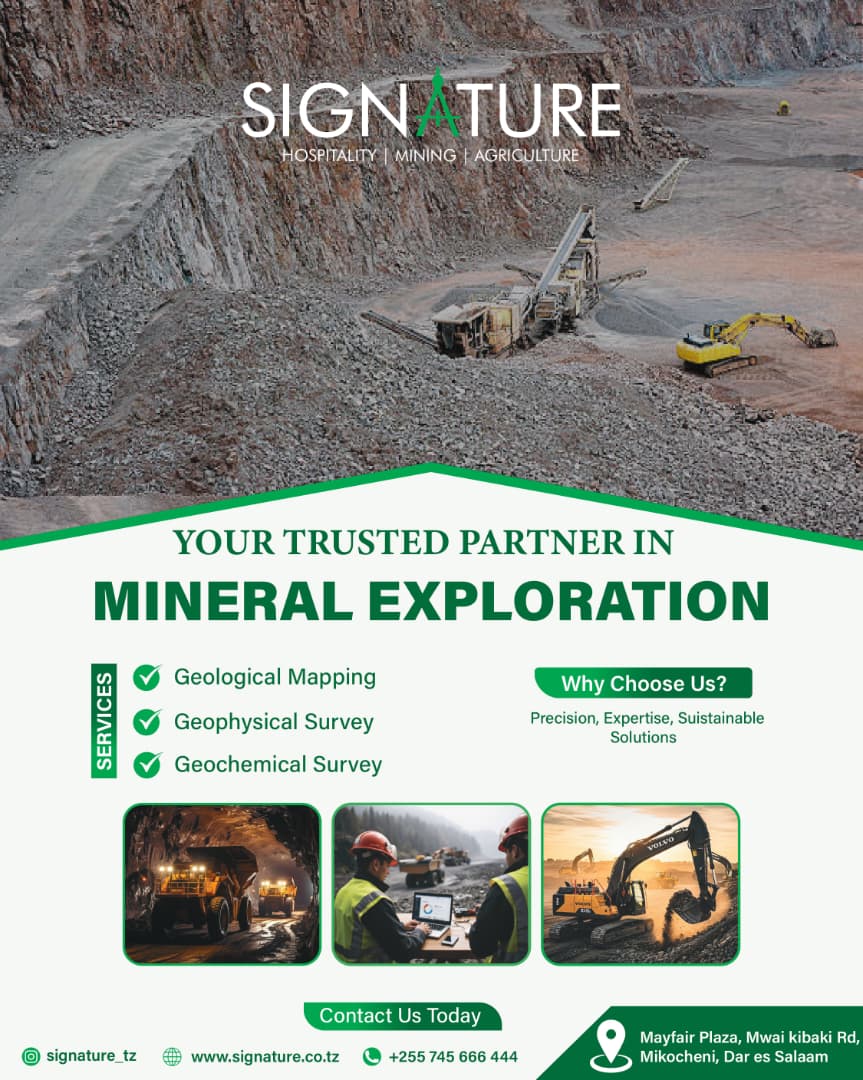
Mineral Exploration: Signature. Precision. Proven.
Mineral Exploration: Surficial showings deceive. Auger alone misses deep-seated conductors. You require a hybrid workflow: geophysics to see beneath cover, geochemistry to fingerprint anomalies, and structural mapping to target drill pads. Signature Hospitality & Mining Services delivers this trinity without subcontracted fragmentation.
Geophysical Survey
We deploy ground magnetics, IP/resistivity, and EM arrays calibrated for Tanzanian greenstone belts and sedimentary basins. Our field crews prioritise line spacing that resolves contacts at target depth – not standard industry averages. Every profile receives inversion modelling before you approve the next phase.
Geochemical Survey
Stream sediments, soils, or rock chips? We apply ultra-low detection protocols and QA/QC blanks that exceed labs’ minimum requirements. Multi-element suites (including pathfinders for Au, Cu, REE, and Li) are interpreted against local background populations, not global crustal averages. You get anomaly ranking, not raw ppm tables.
Geological Mapping
Remote sensing alone misses critical shear zones and alteration halos. Our geologists log lithology, veining chronology, and hydrothermal assemblages at 1:2,500 to 1:10,000 scales. Deliverables include reconciled cross-sections and a 3D conceptual model – not a scanned field slip.
Why Choose Us
Equipment autonomy – No third-party sub-leasing delays. Our resistivity meters, XRF analysers, and GNSS mappers are factory-calibrated every 90 days.
Local litho-tectonic expertise – Teams have worked the Ubendian Belt, Lake Victoria Goldfields, and Mozambique Belt. You avoid the “textbook geology” trap.
Sustainable by design – We rehabilitate lines and pits daily. No environmental escrow surprises after your programme ends.
Precision, Expertise, Sustainable
It is our operating rhythm. Precision: sample coordinates are accurate to sub-metre. Expertise: senior geologist sign-off on every survey closure. Sustainable: we leave the ground ready for follow-up without remediation penalties.
Solutions – Tailored to Your Stage
Grassroots explorer ? Regional stream sediment + airborne EM targeting.
Advanced project ? Gradient IP + litho-geochemical alteration vectors.
Mine nearology ? Downhole geophysics + structural re-mapping of stoped zones.
Let´s Connect
Mayfair Plaza, Mwai Kibaki Rd, Mikocheni, Dar es Salaam
Mineral Exploration with Signature
Your Geophysical Survey Will Actually Reach Target Depth
Many contractors publish “maximum depth of investigation” figures derived from half-space models – theoretical, not real. In conductive overburden or lateritic cover, a standard dipole-dipole array loses resolution above 40 metres, even when the marketing brochure claims 150 metres. We pre-model your expected geology and select the array (gradient, pole-dipole, or deep-penetrating Schlumberger) and electrode spacing before we mobilise. After acquisition, we supply depth of investigation (DOI) indices so you know exactly which anomalies are real and which are artefacts. You do not drill a phantom conductor.
You Eliminate Inter-Firm Coordination Failure
Most exploration managers waste 6–8 weeks aligning three separate vendors: one for IP lines, another for soil sampling, and a third for mapping. Each uses different datums, different QA/QC protocols, and separate reporting schedules. When something goes wrong (a misplaced electrode array, a contaminated soil sieve, a mis-digitised fault trace), vendors blame each other. Our integrated team runs all three methods under one project ID. The geophysicist talks to the geochemist before line cutting begins. The mapping geologist sees the IP anomaly in real time. You receive one correlated dataset, three reconciliation reports, and zero cross-contractor disputes. That speed directly lowers your field overheads.
You Avoid the “Background Population Trap”
Standard geochemical reports compare your samples to generic crustal averages – a fatal error in highly mineralised terranes like the Lake Victoria Goldfields. Local background for arsenic or antimony may be 10x higher than the global means. Without locally derived thresholds, you either chase false anomalies or discard genuine targets. We compute threshold values from your own project’s lithological units using a minimum of 30 background samples per rock type. Every copper, lead, or lanthanum anomaly is ranked by probability of being exploration-worthy – not by arbitrary multiples of detection limit. You stop wasting drilling on geochemical noise.
- Jenga kwa Hekima, Tumia Kidogo
 Imports International Jenga kwa Hekima, Tumia Kidogo Nguvu ya Umaliziaji kwa Thamani Bora Ofa Maalum wa msimu wa Sabasaba Interior Finishing Hardware: Ofa za Sabasaba kwa Wajenzi Makini
 - The Silent Custodian of Capital
 Alliance Insurance The Silent Custodian of Capital From Bricks to Balance Sheets The Shield Against Unwritten Liabilities Commercial and Industrial Insurance: The Vanguard of Industrial Assurance
 - Usikose Fursa Hii
 3D Distributors Usikose Fursa Hii Fikia Matokeo Bora kwa Kila Mvuto wa Brashi Brashi Bora Painting Tools: Mshirika Wako wa Kuunda Maeneo Mazuri
Leave a Reply
You must be logged in to post a comment.